Skip to content
Toggle Menu Close

Scan to BIM

Capture highly accurate as-built data for BIM in hours instead of days

Capture a more comprehensive dataset and avoid expensive revisits


The construction industry relies on 3D Building Information Modeling (BIM) to plan, design, construct, and manage buildings and infrastructure. Yet traditional data capture methods such as terrestrial laser scanning (TLS) can be time-consuming and labor-intensive.

With Emesent’s advanced 3D LiDAR scanning technology, capturing as-built conditions for conversion into detailed BIM models is faster and more efficient than ever. This streamlined approach delivers up-to-date, high-accuracy data in a fraction of the time — enabling more frequent scanning, real-time progress tracking, and better decision-making across the project lifecycle.

Traditional methods can slow you down

Traditional scanning methods, especially with terrestrial laser scanning (TLS), are labor-intensive and time-consuming — particularly in complex buildings or infrastructure projects that require multiple set-ups. This not only drives up costs during capture and post-processing but also limits the ability to scan frequently enough for effective progress tracking. As a result, maintaining a live digital twin becomes difficult in the fast-paced world of construction. Accurate data capture demands specialized training and expertise, adding to project complexity. Moreover, while TLS provides high-resolution 3D data, it often needs to be supplemented to access hidden or hard-to-reach areas. Environmental conditions like weather, lighting, and physical obstructions can further compromise scan quality.

Mobile SLAM scanning removes the setup time and skill barriers of TLS, without giving up the accuracy your BIM deliverables depend on.

The Emesent Solution

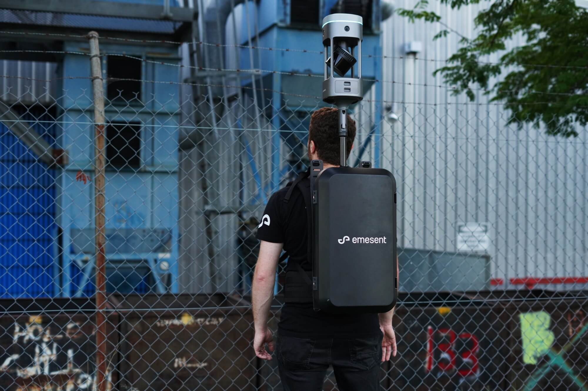
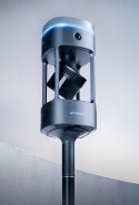
Emesent GX1 brings mobile scanning speed together with reliable, repeatable global accuracy, so you can capture as-built conditions for BIM faster without compromising the models that depend on them. With 5-10mm global accuracy, integrated RTK and four 20MP cameras capturing 360° imagery, Emesent GX1 delivers highly accurate point clouds with the visual context BIM teams need.

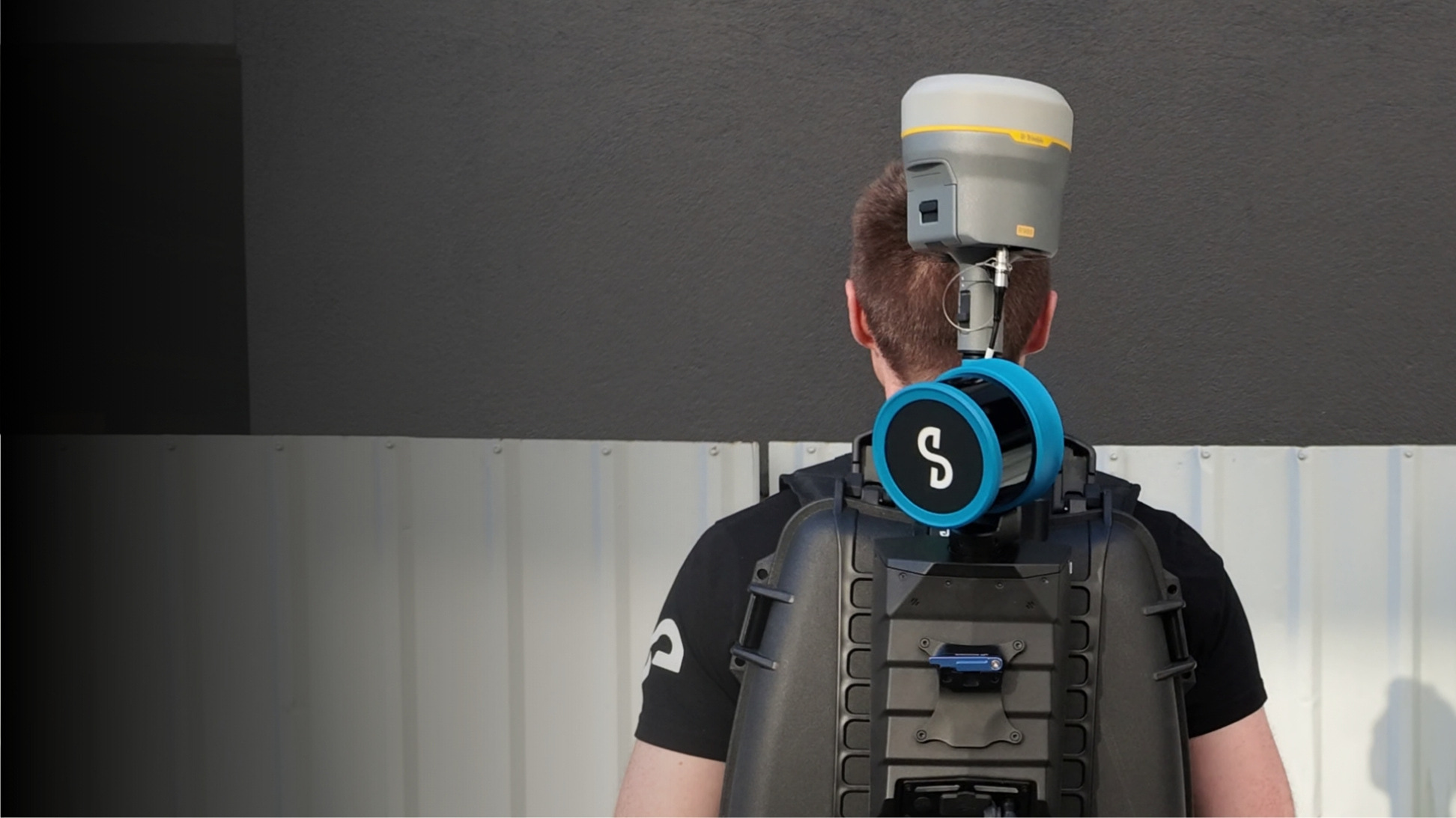
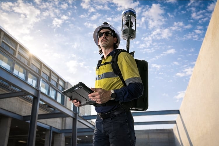
Deploy GX1 on a backpack for interiors and tight floorplates, on a survey pole for overhead and elevated features, or on a vehicle mount for large sites and exteriors. Emesent SLAM keeps mapping accurately where GPS drops out, from basements and plant rooms to dense urban sites.

Process in Aura with flexible georeferencing: integrated RTK in the field, PPK back at the office, or your own targets and check points. Point clouds and imagery then move into the BIM tools your team already uses, including Autodesk Revit, Bentley Systems, and Trimble Business Center and Tekla Structures via Trimble Connect.

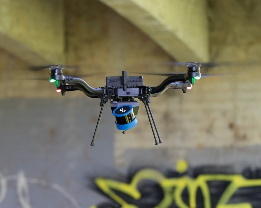
For work GX1 can’t reach, such as drone-mounted capture of facades, roofs and structures, or hazardous areas, Emesent Hovermap brings the same Emesent SLAM to the air and to ground robots.

Capture in hours, not days

Complete complex scans in hours instead of days, even in GPS-denied areas.

High density colorized scans

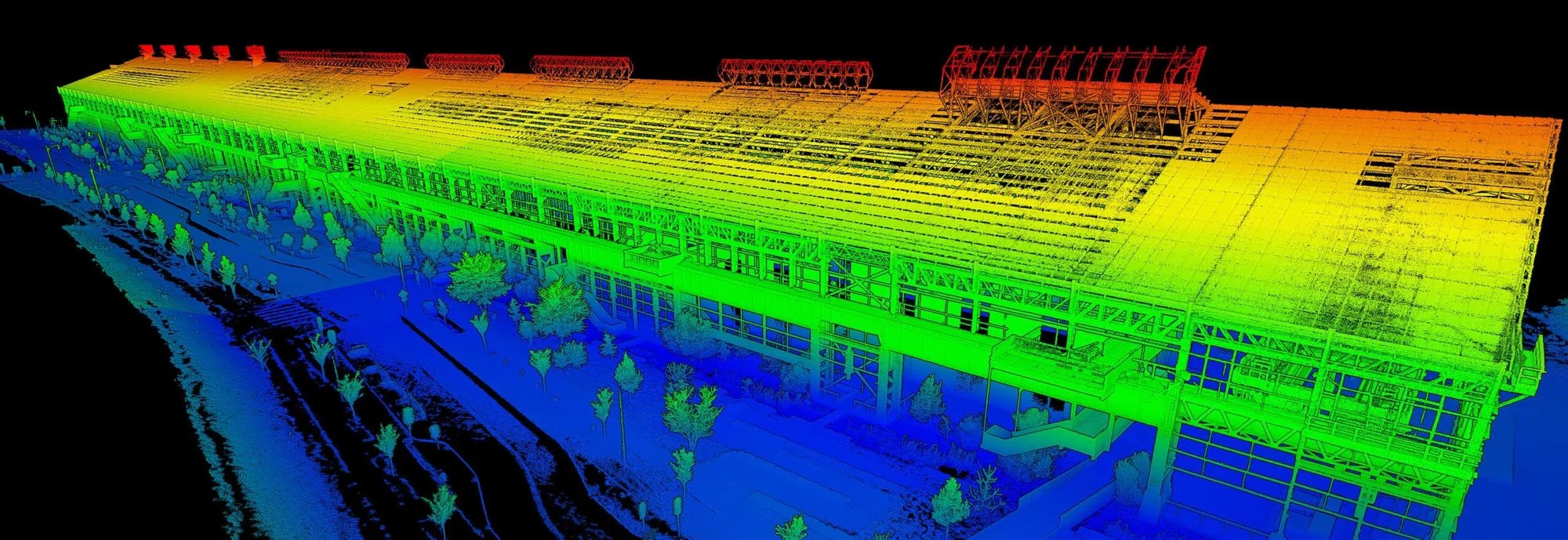
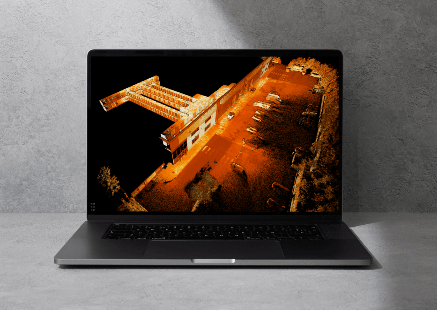
High-density data capture ensures detailed 3D colorized models, with GX1 adding 360° imagery to every scan.

Reliable, repeatable accuracy

Emesent GX1 delivers 5-10mm global accuracy to capture walls, ceilings, floors, MEP and HVAC detail.

Rapid, large scale capture

Efficient for complex or large-scale sites such as high-rises, tunnels, industrial plants. Mount GX1 on a vehicle (sold separately) or fly Hovermap for vast expanses.

Versatile deployment

GX1 mounts on a backpack, survey pole, vehicle or supported handheld; Hovermap adds drone, robot and cage options.

Flexible georeferencing

Use integrated RTK, PPK, or your own targets and check points in Aura to reduce site re-visits.

Operational workflow

Scan-to-BIM-v2-2048x840
  1. Scan with GX1 on a backpack, pole or vehicle mount, or fly Hovermap on a drone for exteriors and hard-to-reach areas.
  2. Process and georeference in Aura using RTK, PPK or targets, then merge, clean and prepare.
  3. Import into BIM software such as Revit, Bentley, or Trimble Business Center and Tekla via Trimble Connect.
Case study
How Sonto Cut Field Errors by 30% with Emesent GX1
When 70% of your survey deliverables support BIM projects, there's no room for error — or delays.

Sonto joined the beta program for Emesent GX1, putting it to work in high-volume residential Scan-to-BIM workflows. The results? A 30% reduction in field errors and measurable improvements to how their team moves from scan to deliverable.

When speed and accuracy aren't negotiable, the right technology makes all the difference.

Transform your built environment with fast, accurate Scan to BIM

GX1 - Backpack - Scan to BIM - cropped 750px

Versatile deployment

Deployment options to suit every site. GX1 mounts on a backpack, survey pole, vehicle or supported handheld; Hovermap adds drone and robot capability
Aura20_laptop_1500pxW-v2

Unlimited on-prem processing

No per-scan charges for Emesent Aura point cloud processing

PPK accuracy report in Aura_600H

Best-in-class SLAM

Emesent SLAM delivers reliable, repeatable 5-10mm global accuracy, with integrated RTK/PPK for georeferencing

gx1_slider_compressed

360° Image capture

Extract 360° images and view side-by-side with the point cloud, highlighting areas of interest

RTK-Accuracy-tablet-view_600pxH

Stream as you scan

Real-time 3D visualization of the environment via the Commander app

KholoGardens_banner-crop_1500pxW

360° Colorization

Add additional context to your point clouds, uncovering richer insights and aiding stakeholder understanding

alcatraz-shot-1-768x376

Merge multiple datasets

Capture scans at different times and in different areas and easily merge together

Autodesk-Revit_Public-college-2022-cropped

Software integration

Import into BIM software packages such as Autodesk Revit, Bentley Systems, and Trimble Business Center and Tekla via Trimble Connect.

intuitive-responsive-interface

Set-and-forget processing

With automated cleaning tools that include removing moving objects from your environment

Testimonial

“The performance and accuracy of modern mobile mapping are now rivaling traditional TLS systems, offering the perfect balance of precision and speed.


We are seeing incredible momentum in the Taiwan market, where Scan-to-BIM workflows powered by Hovermap are already delivering results—and there is still so much untapped potential to explore.”

Bruce Lin
Lin Trading Taiwan
BruceLin-LinTrading-GX1_900x900

Hardware options

GX1 on backpack 3 - 2000px
All-in-one mobile scanning

Emesent GX1

Integrated SLAM, RTK, and 360° capture in a single device, built for fast, highly accurate as-built capture. Scan interiors, basements and plant rooms or exteriors and open sites, and keep mapping accurately where GPS drops out. Four 20MP cameras capture 360° panoramas to view alongside your point cloud, and removable batteries mean no cable clutter in the field.
Survey pole Backpack Vehicle Supported handheld
Astro with STX underpass 5.4
Versatile autonomous mapping

Hovermap STX

Autonomous, AI-powered mapping for the structures and spaces other methods struggle to reach: drone-mounted capture of facades, roofs and elevated structures, plus confined spaces and areas unsafe to enter. Unmatched versatility, with mounting options that include drone, backpack, vehicle, and robot.
Drone Backpack Vehicle Handheld Robot

Related content

GX1 - Curiosity Labs USA 5_2000px

GX1 Dataset - Curiosity Labs

2024.06.12-08.56.31_FullQuality-cropped-scaled-1

Construction As-built Survey

STX-Backpack-Trimble_2.1.1

Emesent Trimble Workflow Integration

Want to see more?