
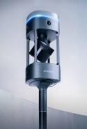


Two scanners. One mission: see more, know more, act now.
Emesent builds mobile LiDAR hardware for the places other tools can't reach. Emesent GX1 and Emesent Hovermap share the same proprietary Emesent SLAM technology at their core — packaged into two purpose-built platforms, so you choose the right tool for you.
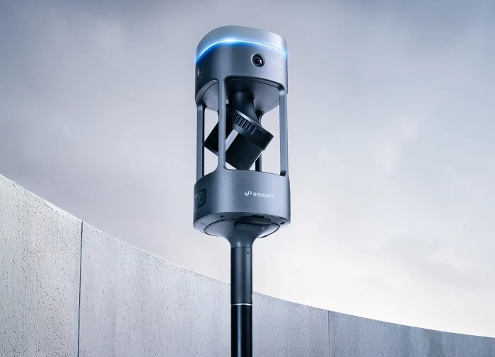
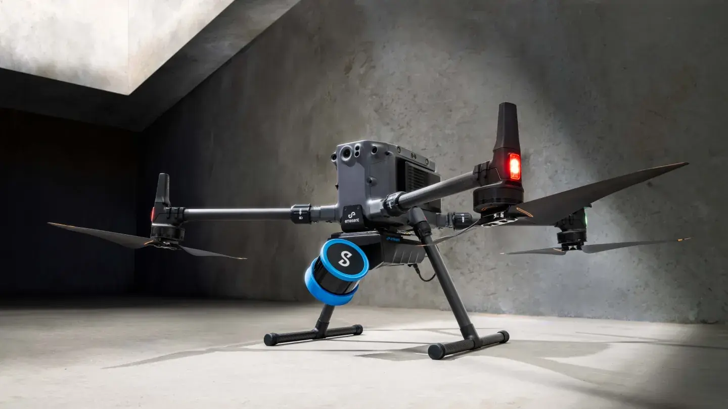
Every Emesent scanner is built on the same foundation: ground-breaking accuracy, sub-centimeter precision, and Emesent's award-winning SLAM technology — which keeps you mapping accurately even when GPS drops out.
Emesent GX1
Simple, all-in-one solution for ground-based survey scanning — backpack, pole, vehicle, or handheld — for teams who need maximum accuracy, fast.
Emesent Hovermap
Autonomous & versatile remote mapping — drone, robot, vehicle, or backpack — built for GPS-denied and hazardous environments, in the air or on land.
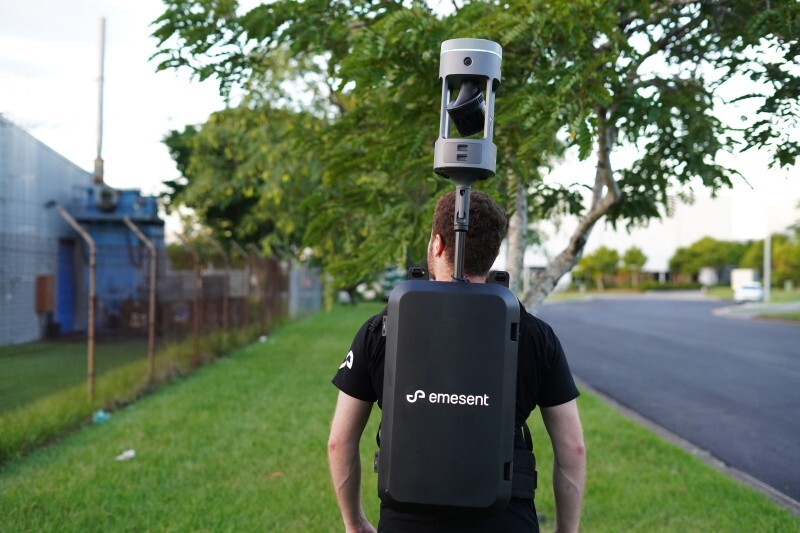
Emesent GX1 — scan faster, without sacrificing accuracy
Purpose-built for surveyors who need mobile scanning speed with accuracy they can prove. Powered by Emesent SLAM, GX1 delivers 5–10mm global accuracy with integrated RTK georeferencing, 4×20MP cameras for full 360° imagery, and unlimited on-prem data processing — all in a single integrated, cable-free unit.
Best for: topographic & road surveys, construction progress tracking, scan-to-BIM, and tunnel/infrastructure surveys.
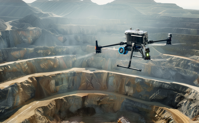
Emesent Hovermap — AI-powered autonomy for the hardest-to-reach places
Built for teams mapping GPS-denied, hazardous, or otherwise inaccessible environments, autonomously where needed, thanks to Emesent SLAM. Hovermap's quick-release design moves easily between drone, ground robot, vehicle, and handheld/backpack configurations, streaming a live point cloud back in real time.
Best for: underground mine mapping, stockpile & void surveys, beyond-line-of-sight drone inspection, and any unsafe or GPS-denied environment.
Compare Emesent GX1 & Emesent Hovermap
Not sure which fits your project? Use the summary below, or talk it through with our team.
| Emesent GX1 | Emesent Hovermap | |
|---|---|---|
| Primary environment | Ground-based sites — roads, buildings, tunnels | GPS-denied, hazardous, or hard-to-access — air or ground |
| Emesent SLAM | Fast, accurate operator-driven mobile mapping | Fully autonomous mapping capability, plus operator-driven |
| Accuracy | 5–10mm global accuracy | Sub-centimeter to ±15mm, depending on mode/environment |
| Typical users | Survey & AEC teams | Mining, defense, public safety, geospatial teams |
| Deployment options | Backpack, pole, vehicle, handheld | Drone, robot, vehicle, backpack, handheld, cage |
| Autonomy | No | Yes |
Still not sure? Book a demo and our team will help you choose.