

Underground Versatility: Mapping a Medieval Castle's Cisterns with Emesent Hovermap ST
Underground spaces are among the hardest environments to survey. They're dark, irregular, often difficult to access, and GNSS is not available.
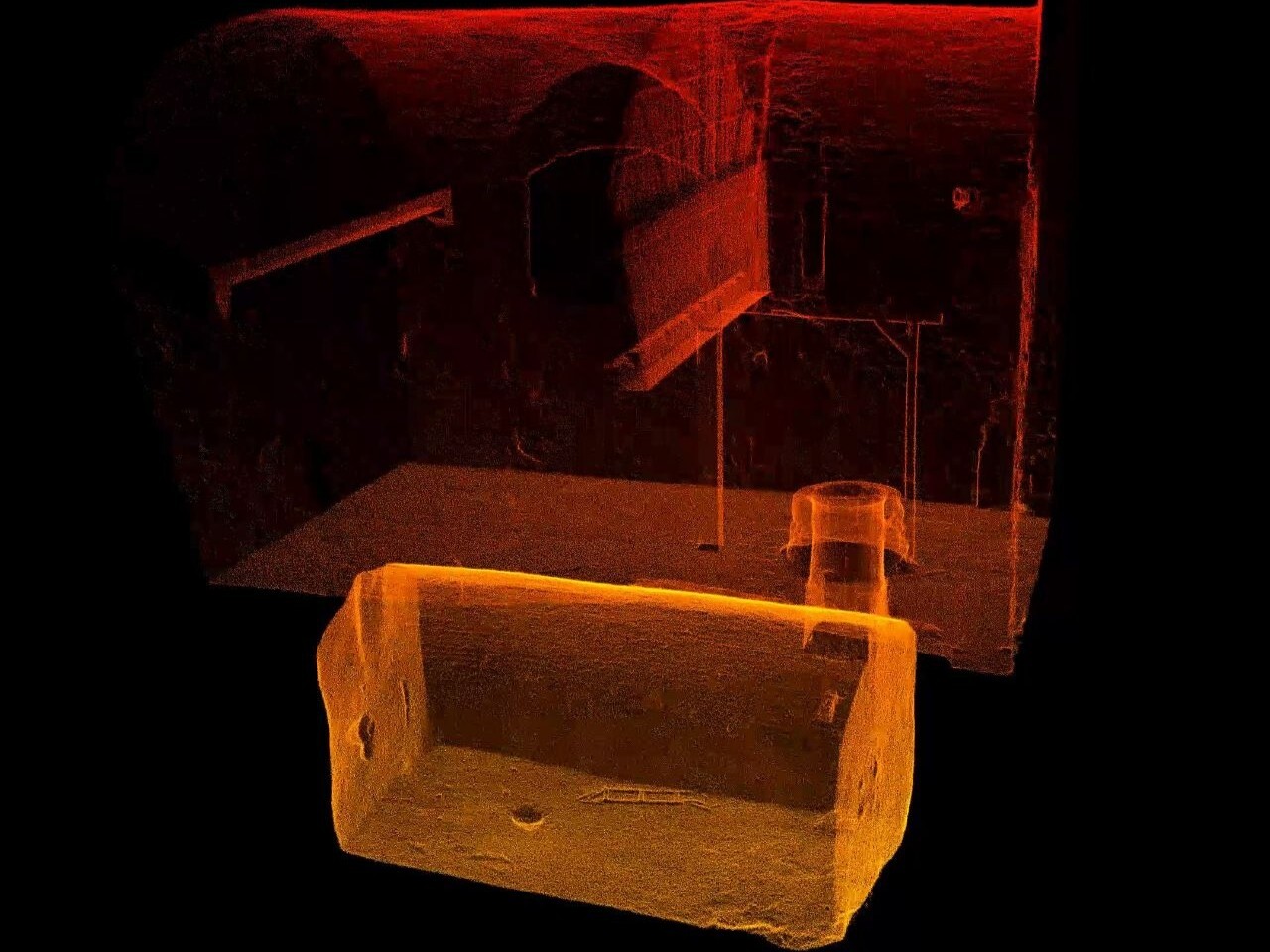
In this webinar with Paolo Corradeghini of 3DMetrica, we look at a real project: creating a complete 3D model of the underground water cisterns of a medieval castle.
Using this case study, you'll see how the versatility of Hovermap ST lets you choose the right capture method for each space, rather than the other way around:
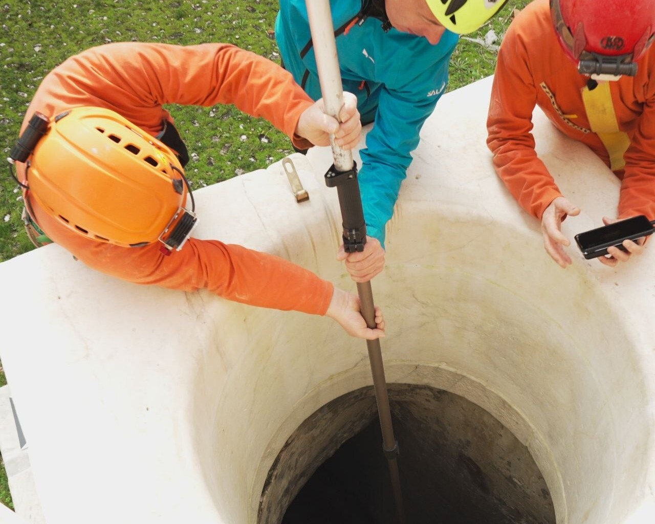
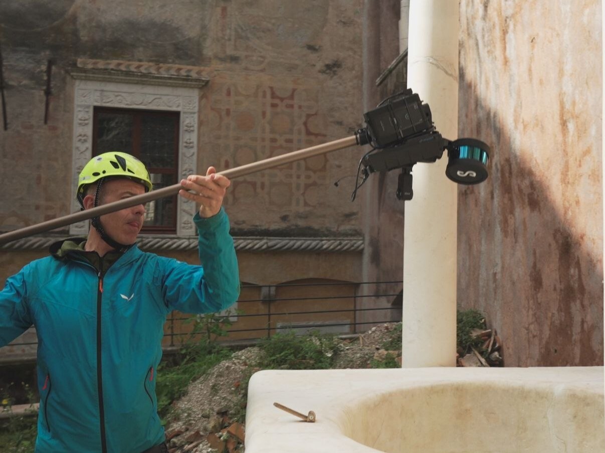
- Remote deployment from above. In one of the cisterns, the unit was introduced through the opening from above, with nobody inside, to capture the volume while keeping people out of a confined and potentially hazardous space.
- Mobile capture on foot. In the other volumes, the unit was carried by operators walking through the space, quickly capturing continuous, detailed data of the full environment.
- One dataset, one model. How the different acquisitions were combined to link the cisterns with the rest of the castle in a single coherent 3D model.
The session is based on real field experience, including the challenges we faced and the practical decisions that shaped the workflow.
Webinar details:
Date: Thursday 29 October
Time: 9:00am CET || 6:00pm AEST
Presented by: Paolo Corradeghini - Surveyor, 3DMetrica
What you'll learn
- How to plan a scan of an underground or confined space with SLAM-based lidar
- When to capture a space handheld and when to deploy the unit remotely
- How to connect underground and above-ground data into a single model
- Practical tips from the field, and what we'd do differently next time
Register now to secure your spot.