
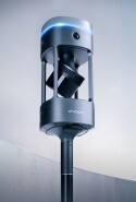


Emesent GX1 Demo Day UK 2026
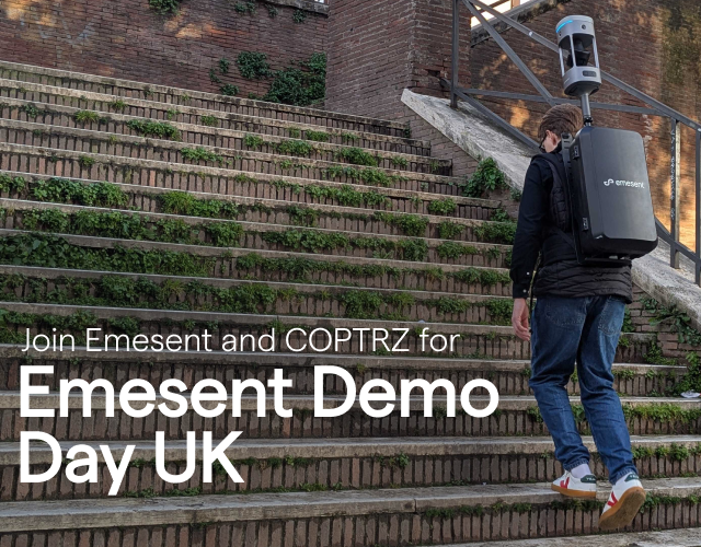
Join Emesent and COPTRZ in Southampton this October
Proudly presented in partnership with COPTRZ, Emesent's official partner in the UK, we're excited to invite you to a complimentary demo day in Hampshire, giving you hands-on time with Emesent's latest mobile mapping technology.
This session offers a chance to get up close with SLAM-based LiDAR scanning and see how it's opening up faster, more flexible ways to capture spatial data across surveying, construction, architecture and more.
Date: Thursday 1 October 2026
Location: New Place Hotel, High Street, Shirrell Heath, Southampton, Hampshire
Time: 10:00 a.m. - 2:00 p.m.
Registrations close 24th September.
What to expect:
-
Live Emesent GX1 and Hovermap STX demonstrations - Watch our latest SLAM-based LiDAR scanning systems in action and see the accuracy and versatility they bring to AEC projects.
-
Emesent GX1 in the spotlight - Get an early look at the newest features and capabilities of our all-in-one mobile mapping system.
-
Guided Emesent Aura post-processing walkthrough - See real workflows that turn raw scan data into usable outputs, covering scan-to-BIM, topographic surveys, construction progress tracking, asset inspection and more.
- Special guest speaker: Applications in CADD UK will be presenting N4CE software
-
Complimentary lunch - Connect with peers and the COPTRZ crew over a bite to eat.
-
Open Q&A - Bring your specific questions and use cases along.
Join the COPTRZ team, who will take you through what Emesent GX1 can do — combining 360° colour imaging with RTK positioning — and discuss how it fits your particular projects.
See how Emesent GX1 fits into different sectors:
-
Surveying: Emesent GX1 captures highly detailed, accurately georeferenced point clouds via SLAM, cutting out manual steps and speeding up the workflow.
-
Construction: Detailed 3D models are captured rapidly, supporting better design, planning and progress monitoring.
-
Architecture: Buildings and structures are scanned in fine detail, making design, renovation and documentation faster and more accurate.
-
Government & public services: Real-time mapping of disaster zones supports search and rescue, damage assessment and firefighting response.
Register now to secure your spot!