


Emesent GX1 Demo Day UAE 2026
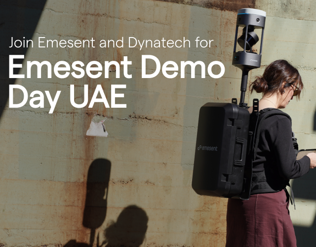
Join Emesent and Dynatech for a GX1 demo day in Dubai, UAE
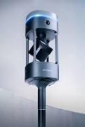
Emesent is teaming up with Dynatech, our official partner in the UAE, to bring you a complimentary, hands-on demo day in Dubai built around Emesent GX1, our newest all-in-one mobile mapping solution.
Come along to see how SLAM-based LiDAR, 360° imaging and RTK combine into one fast, accurate scanning workflow for AEC professionals, with a complete walkthrough of the Emesent GX1 workflow — from live data capture through to post-processing — and plenty of opportunity to get hands-on with the scanner yourself.
Date: Thursday 1 October 2026
Location: Millennium Plaza Downtown Hotel, Dubai, UAE
Time: 9:30 a.m. - 1:30 p.m.
Registrations close Thursday 24 September 2026.
What to expect:
-
Welcome and introductions - Meet the Emesent and Dynatech teams and get an overview of the day.
-
Latest Emesent updates - A look at the newest features and capabilities added to the platform.
-
AEC use cases - Real examples of architecture, engineering and construction teams putting Emesent GX1 to work on live projects.
-
Live data collection demo - Watch — and try for yourself — how Emesent GX1 pairs with its companion tablet to capture data, with hands-on scanning both indoors and outdoors.
-
Post-processing walkthrough - See captured data move through Emesent Aura and Aura Cloud into deliverable-ready outputs, followed by an open Q&A.
-
Complimentary lunch - Provided on-site to close out the day.
Our Technical Specialist, Dmitrii Naumenko, will be on-site throughout to run the live demonstrations, alongside Naved Ali, Emesent's Channel Sales Manager, who'll be on hand to answer any questions specific to your business.
See how Emesent GX1 performs across different sectors:
-
Surveying: Emesent GX1 delivers unmatched SLAM accuracy and richly detailed point clouds, streamlining georeferencing and cutting out manual steps.
-
Construction: Detailed 3D models are captured quickly to support project design, planning and progress monitoring.
-
Architecture: Precise 3D scans of buildings and structures are produced for design, renovation and documentation work.
-
Government & public services: Disaster zones are rapidly mapped to support search and rescue, damage assessment and firefighting response.
Register now to secure your spot! Registrations close Thursday 24 September 2026.