
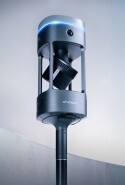


Emesent GX1 Demo Day Sweden 2026
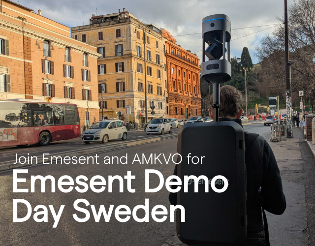
Join Emesent and AMKVO in Uppsala this October
Proudly presented in partnership with AMKVO, Emesent's official partner in Sweden, we're excited to invite you to a complimentary demo day in Uppsala, giving you hands-on time with Emesent's latest mobile mapping technology.
This session offers a chance to get up close with SLAM-based LiDAR scanning and see how it's opening up faster, more flexible ways to capture spatial data across surveying, construction, architecture and more.
Date: 6 October, 2026
Time: 8am – 5pm (lunch provided)
Location: Uppsala Castle, Wasa Hall, Uppsala, Sweden
What to expect
GX1 Demo (8am - 1pm):
- Live Emesent GX1 demonstrations: see the system captured live and discover its versatility and accuracy for real-world applications.
- Latest product innovation with Emesent GX1: be among the first to explore our newest features and capabilities.
- Hands-on Aura post-processing: watch real-world workflows that turn scan data into actionable insights — from topographic surveys to asset inspection.
- Interactive Q&A session: get answers to your specific challenges and use cases.
Once the morning wraps up, we'll share lunch together before moving into the afternoon session.
Hovermap User Group (1pm - 5pm):
An informal experience-exchange session for existing Hovermap users — swap workflows, raise technical questions, and connect with fellow operators from across the region. Open to current Hovermap users attending the demo day.
Join our Senior Technical Specialist, Henry Henderson-Genefaas onsite throughout the day, running the live GX1 demonstrations and hosting the Hovermap User Group discussion.
See how Emesent GX1 fits into different sectors:
-
Surveying: Emesent GX1 captures highly detailed, accurately georeferenced point clouds via SLAM, cutting out manual steps and speeding up the workflow.
-
Construction: Detailed 3D models are captured rapidly, supporting better design, planning and progress monitoring.
-
Architecture: Buildings and structures are scanned in fine detail, making design, renovation and documentation faster and more accurate.
-
Government & public services: Real-time mapping of disaster zones supports search and rescue, damage assessment and firefighting response.
Register now to secure your spot!