

Hovermap STX: Viaduct Infrastructure - Austria
Infrastructure asset management requires proactive monitoring of important structures, particularly over time as weather and human usage take their toll.
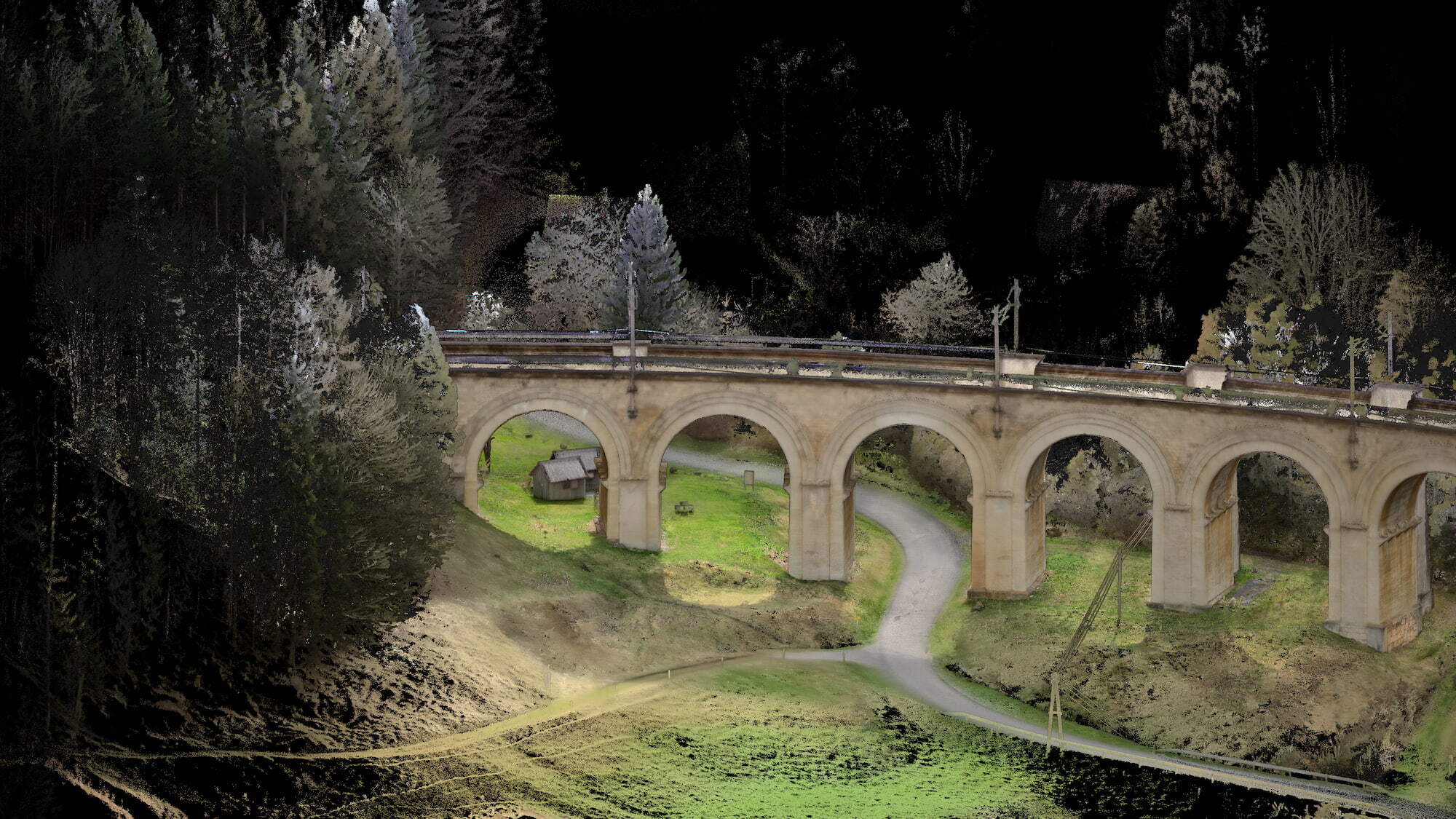
Harnessing Emesent's SLAM-based LiDAR technology, Hovermap STX enables fast capture of scans, imagery and georeferencing data, allowing surveyors to actively manage risk and assess structural integrity.
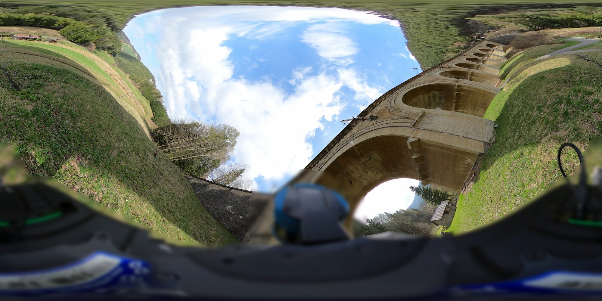
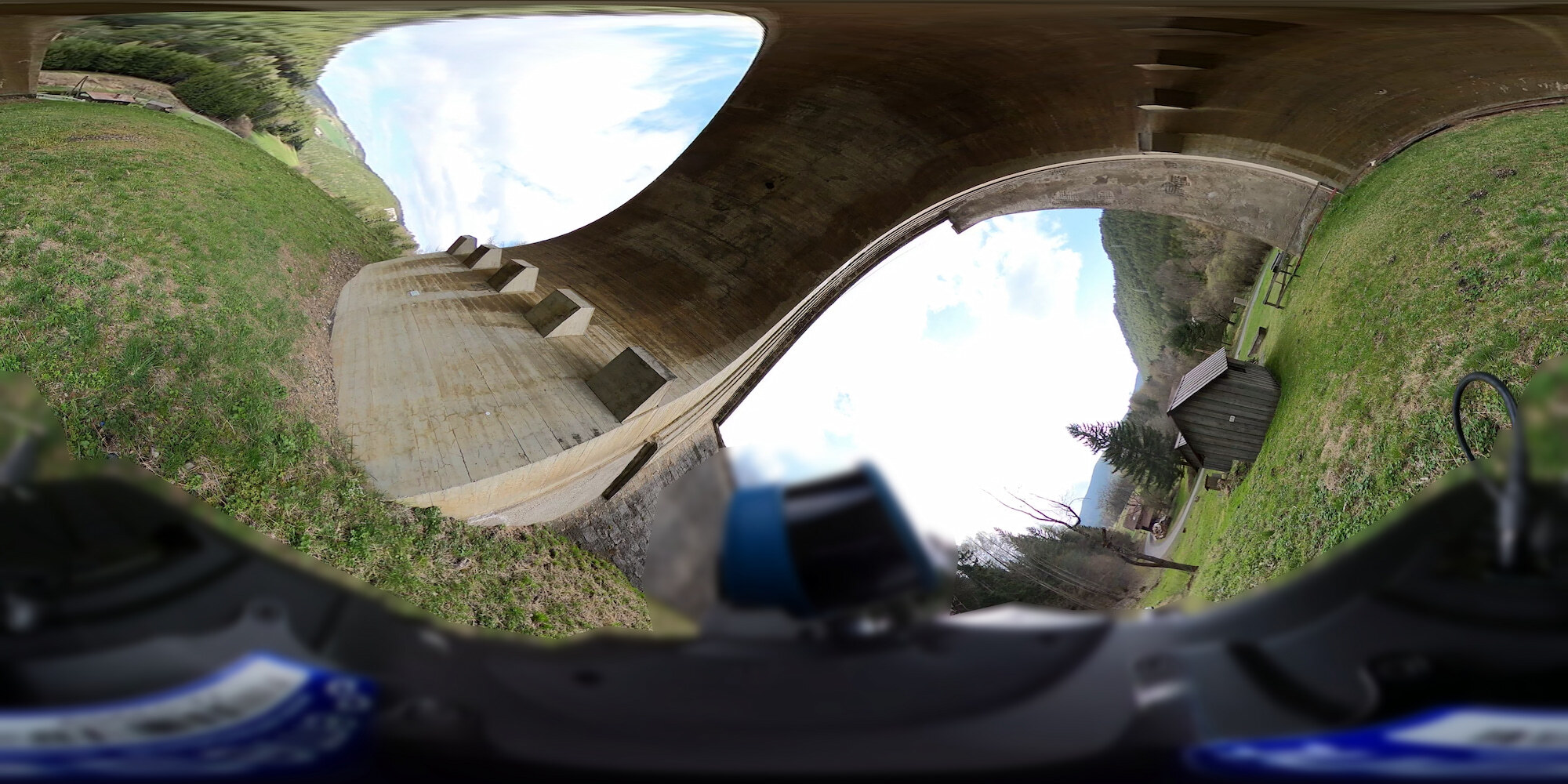
Walking the area with Hovermap STX mounted on a backpack, this beautiful viaduct in rural Austria was scanned in just 22 minutes, then georeferenced using RTK.
To view the results, submit the form for instant access to the dataset in Aura Cloud.
You'll also receive a link to download the full dataset pack for later reference.