Pinpointing a Blockage in an Inaccessible Hydro Station Tunnel
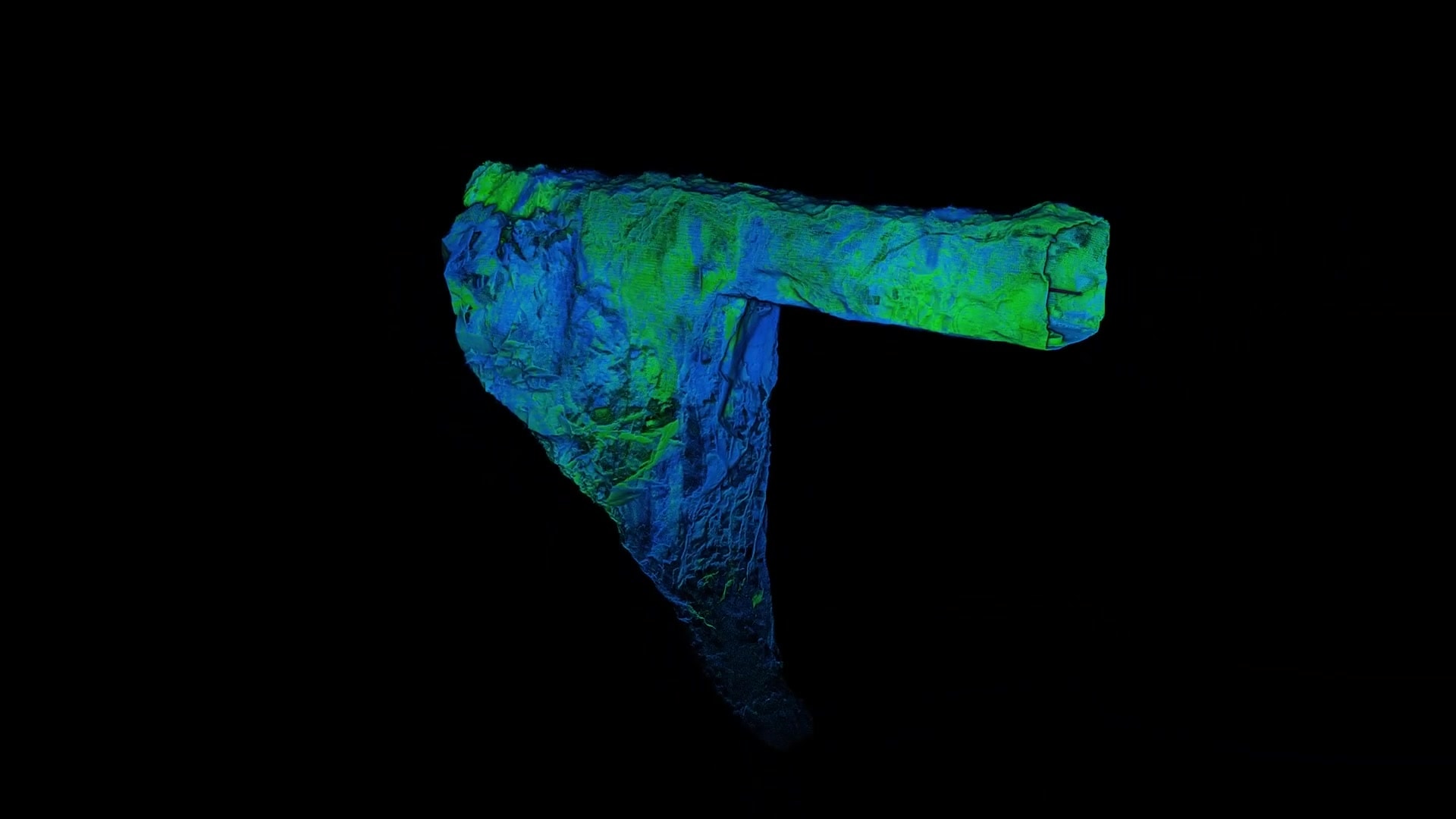
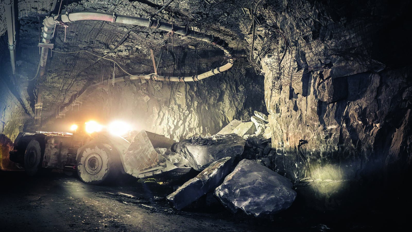
When a station in Hyltebruk in southwest Sweden was alerted to a surface level sinkhole above a water tunnel, they needed to locate and investigate the rockfall and probable deterioration of the tunnel’s concrete lining. Finding and remediating the rockfall was a matter of urgency, as it had caused a blockage that was preventing the use of the tunnel and reducing the station’s output.
To solve their challenge, the hydropower station turned to AMKVO, a remote sensing specialist and data solutions provider to examine the 2 km (1.24 mile) long tunnel and identify the exact location and volume of the blockage.
See how AMKVO achieved this in this case study.
The shape, length, and drop in the tunnel prevented many traditional methods of exploration from locating and documenting the blockage.
“It made Hovermap our only option.”~Alexander Paulusson, CEO, AMKVO

